
Grassrivers
Airboats, alligators and mangrove waterways define Grassrivers, a GTA 6 wetland setting with human activity and danger among its channels.
4 views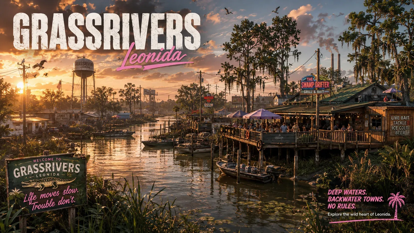
- Type
- Region
- Region
- Grassrivers
- Verification
- Official
Overview
Grassrivers is GTA 6's wetland region, where mangroves, open channels and alligators shape the landscape. Rockstar's introduction gives it a more unsettled character than a scenic swamp tour, hinting at dangerous inhabitants deeper in the area without identifying every threat.
Getting around the water
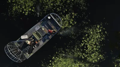
Airboats are a distinctive part of the published scenery. Their large rear-mounted fans stand out as people travel among the waterways. GTA BOOM's location review follows those scenes across the open water and surrounding vegetation.
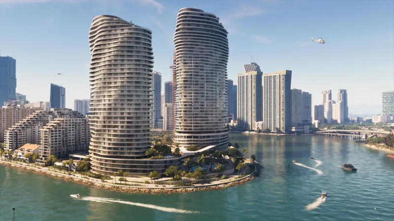
One official image shows a speedboat approaching buildings on piers, with the Vice City skyline in the distance. It is a useful visual connection between the wetlands and the city, although the perspective supplies neither an exact boundary nor a travel time.
Wildlife shares the scene with people
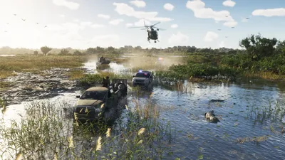
The official images include alligators around an airboat and a pickup pursued through swamp terrain by police cars and a helicopter. The region already has human activity, vehicles and wildlife in the same frame.
Those moments tell us more than a generic promise of wilderness. They also have limits: the chase is not a documented mission walkthrough, and Rockstar's suggestion of deeper dangers does not identify hidden creatures or cryptids.
Understanding the Everglades influence
GTA BOOM connects the name Grassrivers with River of Grass, the phrase associated with the Everglades. The National Park Service describes the real environment as subtropical wetlands shaped by shallow, slow-moving water, including sawgrass marshes, cypress swamps and mangroves.
That context helps explain the water and vegetation shown in GTA 6. It should not be used to transplant every Everglades species, trail or distance into the fictional region.
Which places can be assigned to Grassrivers?
The destination images establish the wetland setting, but do not provide a complete route map or attraction list. In particular, the Thrillbilly Mud Club cannot be placed here simply because it involves mud. The surrounding evidence needs to identify the location too.
Compare the Leonida Keys for island and coastal scenery, or Mount Kalaga for the state's mountain wilderness.
Related Vehicles
Related News

GTA 6 Preview Details: Life Between the Big Jobs
Jason and Lucia's time together, the things they carry and the stops they make give GTA 6's open world its daily rhythm.
Minor spoilersSource: iGrandTheftAuto
Related Guides


Location Info
- Type
- Region
- Region
- Grassrivers
- Verification
- Official
Verification
Official- Source
- Grand Theft Auto VI: Explore Grassrivers(official)
- Last checked
- September 8, 2026
- Reviewed by
- Leuname Nae
Grassrivers and the depicted wildlife are official. Hidden creatures and the Thrillbilly Mud Club location are not established by the destination material.
Sources
Leonida Atlas
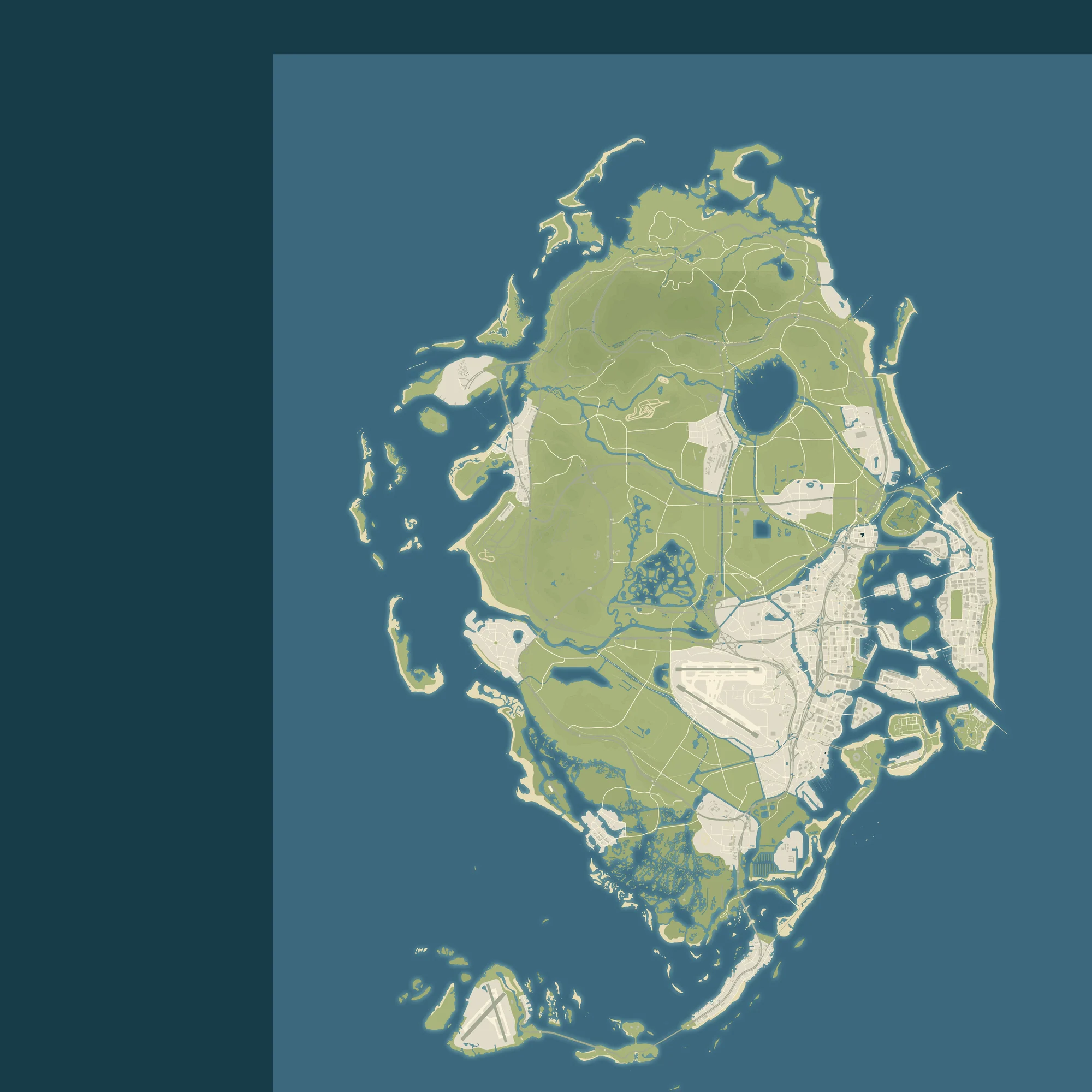
Community reconstruction · Approximate
Open in Leonida AtlasYanis v16 via GTADB / Map GTA · CC BY 4.0. Sources & credits. Community placement, not an official Rockstar map.